Second Cold Front Forecast to Bring Cooler Weather to Jamaica

Forecast models indicate unsettled conditions ahead as Jamaica braces for multiple weather systems over the coming days.
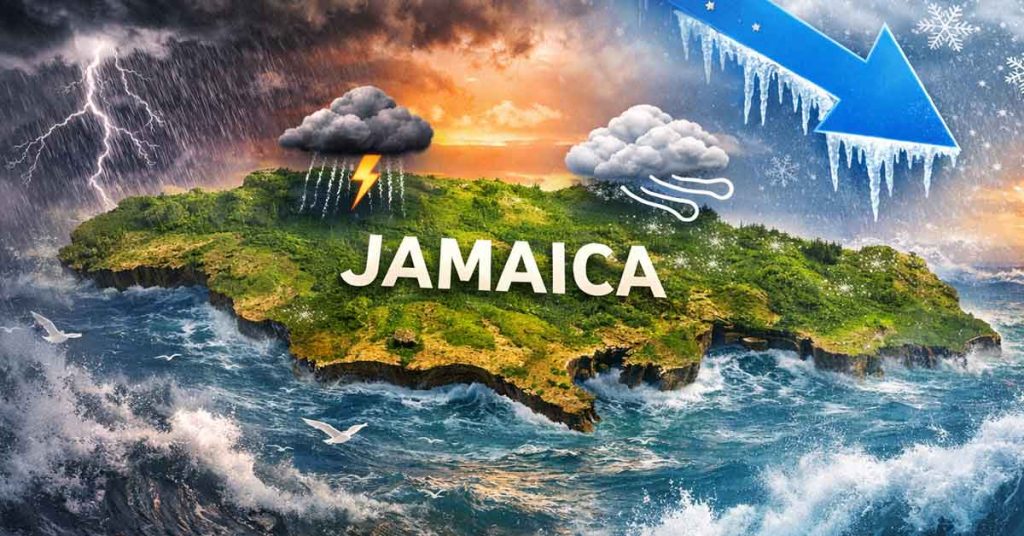
According to the Meteorological Service of Jamaica, lingering effects from a recent cold front will be followed by another atmospheric feature moving into the region.
Late Tuesday night is when a trough currently positioned over the western Caribbean is expected to cross the island, remaining in place until Thursday.
During this period, weather conditions are likely to turn cloudy, with intermittent showers and thunderstorms forecast, some of which could be heavy.
From early Wednesday through Thursday, rainfall activity is projected to impact sections of most parishes, while communities along the northern side of the island face heightened vulnerability.
By Friday, attention will shift to a separate cold front that is forecast to move across Jamaica.
While this upcoming system is expected to be weaker than the one recently affecting the island, it is still predicted to usher in cooler temperatures along with strong winds.
Across northern parishes in particular, gusty conditions are forecast to persist into the weekend.
Marine conditions are also expected to worsen, prompting warnings for fishers and others who depend on the sea.
On Wednesday and Thursday, rougher seas are anticipated in and around areas experiencing showers and thunderstorms.
Further deterioration in sea conditions is forecast from Friday onward as stronger winds develop.
Ongoing monitoring of these evolving systems is underway, with the Meteorological Service advising that updates will be issued as conditions change.
Remember to share this article on Facebook and other Social Media Platforms. To submit your own articles or to advertise with us please send us an EMAIL at: [email protected]