Flash Flood Warning Remains in Effect For Central And Eastern Parishes
The Meteorological Service (Met) has continued a Flash Flood Warning for low-lying and flood-prone areas of St. Ann, St. Mary, Portland, St. Thomas, Kingston and St. Andrew, St. Catherine, Clarendon and Manchester.
A Flash Flood Watch for low-lying and flood-prone areas of Hanover, St. James, Trelawny, Westmoreland and St. Elizabeth has also been extended – effective until 5:00 p.m. today.
As the persistent Trough lingers across Jamaica it continues to influence the weather conditions across the island. Satellite imagery and radar reports indicated light to moderate showers affected all parishes, especially sections of western and central parishes throughout last night into this morning
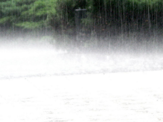
Projections are for showers, which may be heavy at times, along with thunderstorms, to affect sections of all parishes especially central and eastern parishes today until Thursday. Flash flooding is therefore imminent or possible over some low-lying and flood-prone areas of Jamaica.
A FLASH FLOOD WARNING means flooding has been reported or will occur shortly. Motorists and pedestrians should not attempt to cross flooded roadways or other low-lying areas as strong currents are likely. Residents in low-lying areas should be on the alert for rising waters and be ready to move quickly to higher ground.
A FLASH FLOOD WATCH means that flash flooding is possible and residents are advised to take precautionary measures, keep informed by listening to further releases from the Meteorological Service and be ready for quick action if flooding is observed or if a Warning is issued.
The Meteorological Service will continue to monitor the situation.

Download The Jamaican Blogs™ App for your Android device: HERE
Remember to share this article on Facebook and other Social Media Platforms. To submit your own articles or to advertise with us please send us an EMAIL at: [email protected]


